Culture Percentage
Off to the park
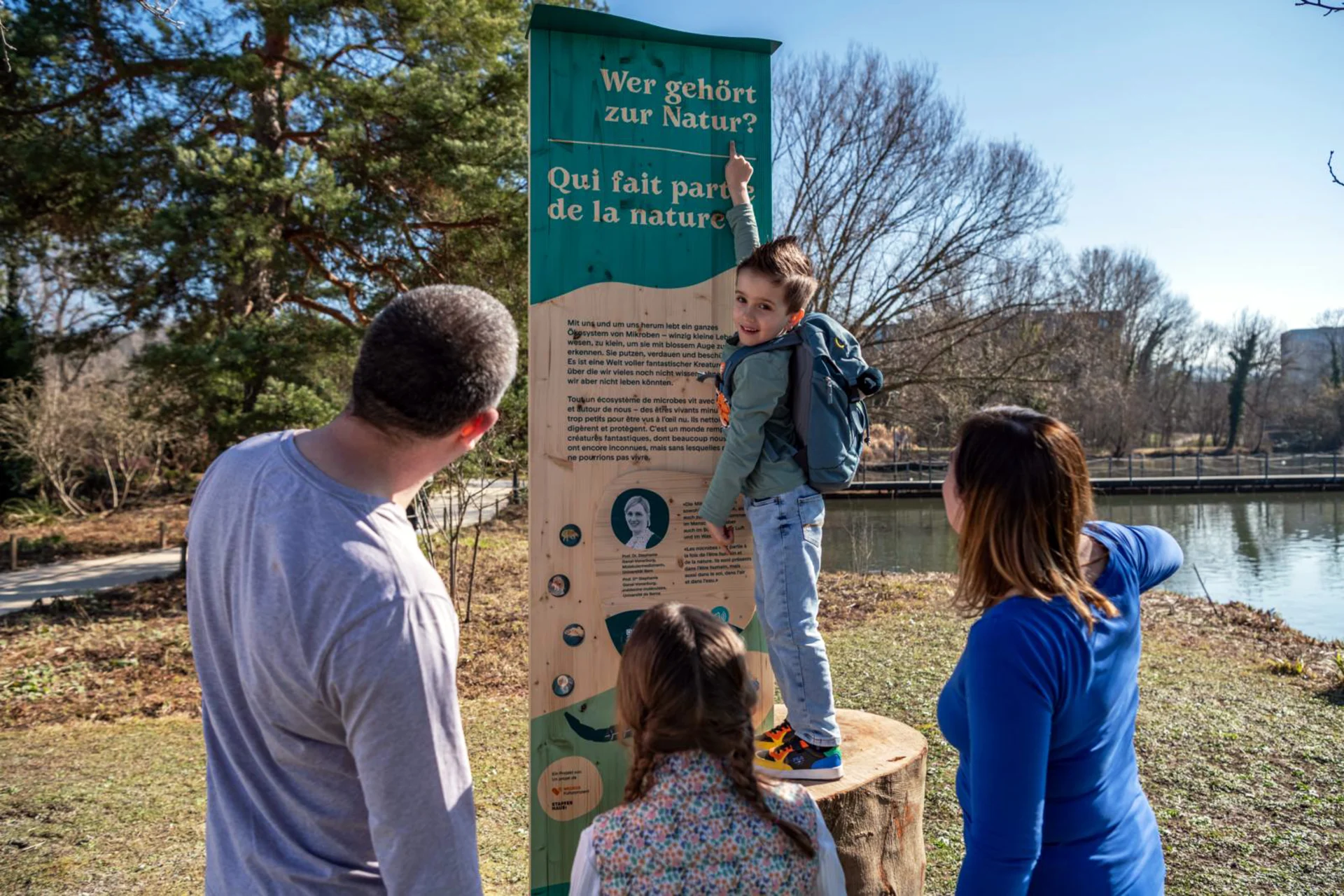
The trail "Nature. And you?" is making its way through the Migros parks and is just the right thing for families.
navigation
Biodiversity
Floodplains are a bit like Switzerland's rainforests. However, 90 percent of these unique habitats have already disappeared. The example of Bever in the canton of Grisons shows the benefits of renaturation. We also present four other day trip destinations.
Some people think of them as untamed river basins. However, these water-shaped landscapes have a name of their own: floodplains. "They are the most biodiverse habitats in Switzerland; effectively our version of rainforests," says Urs Tester, the Head of the Biotopes and Species Division of Pro Natura Switzerland. "Half of all our country's plant species and more than 80 percent of our native animal species call these areas home."
But since 1850, approximately 90 percent of Switzerland's floodplains have been either built over or dug up to extract gravel. Today, they are on the red list of endangered habitats in Switzerland.
Floodplains are the most biodiverse habitats in Switzerland, effectively our version of rainforests.
Floodplains have enormous ecological potential: they filter water, making it drinkable, form a hotspot of biodiversity and offer people opportunities for recreation and, with a little luck, a glimpse of kingfishers, beavers or grass snakes. Floodplains also have another important function with regard climate change: "They balance out heavy rainfall and periods of drought because their structure allows them to store water underground. They also form a vital migration network for animals," Tester says.
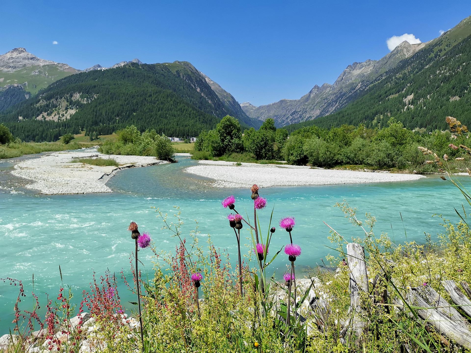
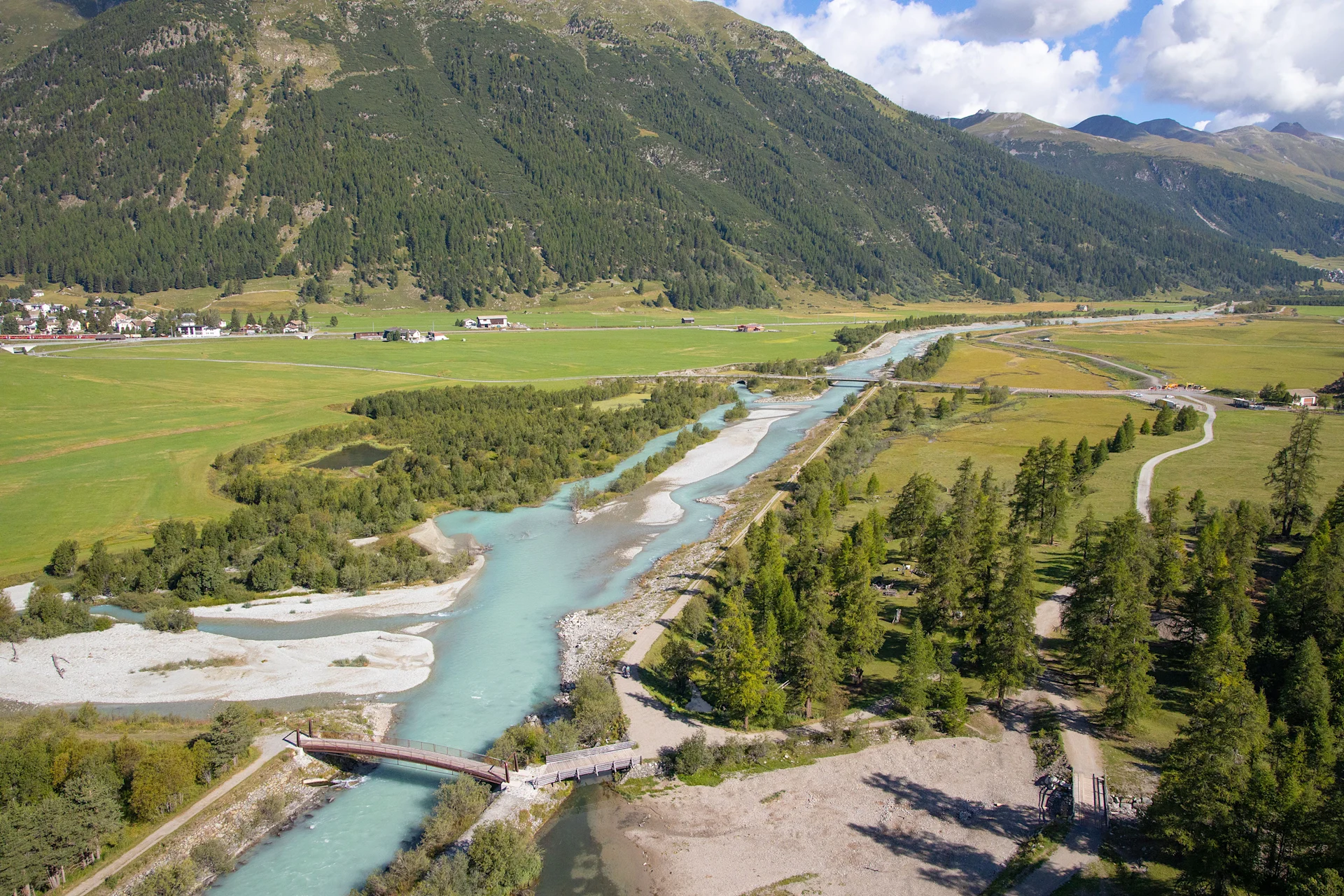
The residents of the Engadine village of Bever have recognised the ecological potential of floodplains. Instead of spending CHF 700,000 renovating old dams, the village's 600 inhabitants decided to upgrade the 2.3-kilometre-long river landscape at a cost of CHF 10 million. Instead of measuring just 20 metres across, the River Inn is once again 210 metres wide in some places and constantly creating new riverside landscapes and gravel banks through alternating shallow and deep water.
"During the construction work, we experienced - the type of flooding that usually occurs only about every 30 years," says Fadri Gaudon, the local mayor. The flood control measures apparently held up perfectly. Since then, grayling and brown trout populations have grown, the numbers of little ringed plovers and common sandpipers have increased, and even beavers and a rare polecat have been spotted.

The Inn floodplains are of national importance and are now a tourist attraction in the Upper Engadin. A local bistro offers refreshments for visitors, while themed huts along the River Inn will provide visitors with information about the floodplains from the summer of 2024. There are also plans to build a visitors' centre sometime, Guidon adds.
Under the Waters Protection Act, the Swiss federal government foots 35-80 percent of the cost of revitalisation. The size of this subsidy depends partly on the added ecological value. The cantons also contribute. "Foundations and organisations also support projects financially," says Gregor Thomas, the Deputy Head of the Revitalisation and Fisheries Department of the Federal Office for the Environment. The aim is to revitalise 4000 kilometres of waterways by 2090.
"You don't make nearly as much progress as you should," Thomas explains. Municipalities have often simply not been aware of the funding and resources available for time-intensive projects. "Many stakeholders, especially landowners, have to be brought on board," he says. Pro Natura is aware of this: "We're trying to facilitate things by reaching out to municipalities," Tester says. He explains that, where possible, municipalities are supported through land purchases or financial contributions, as was the case in Bever. In the end, the village paid less than they would have done for basic renovation of the dam.
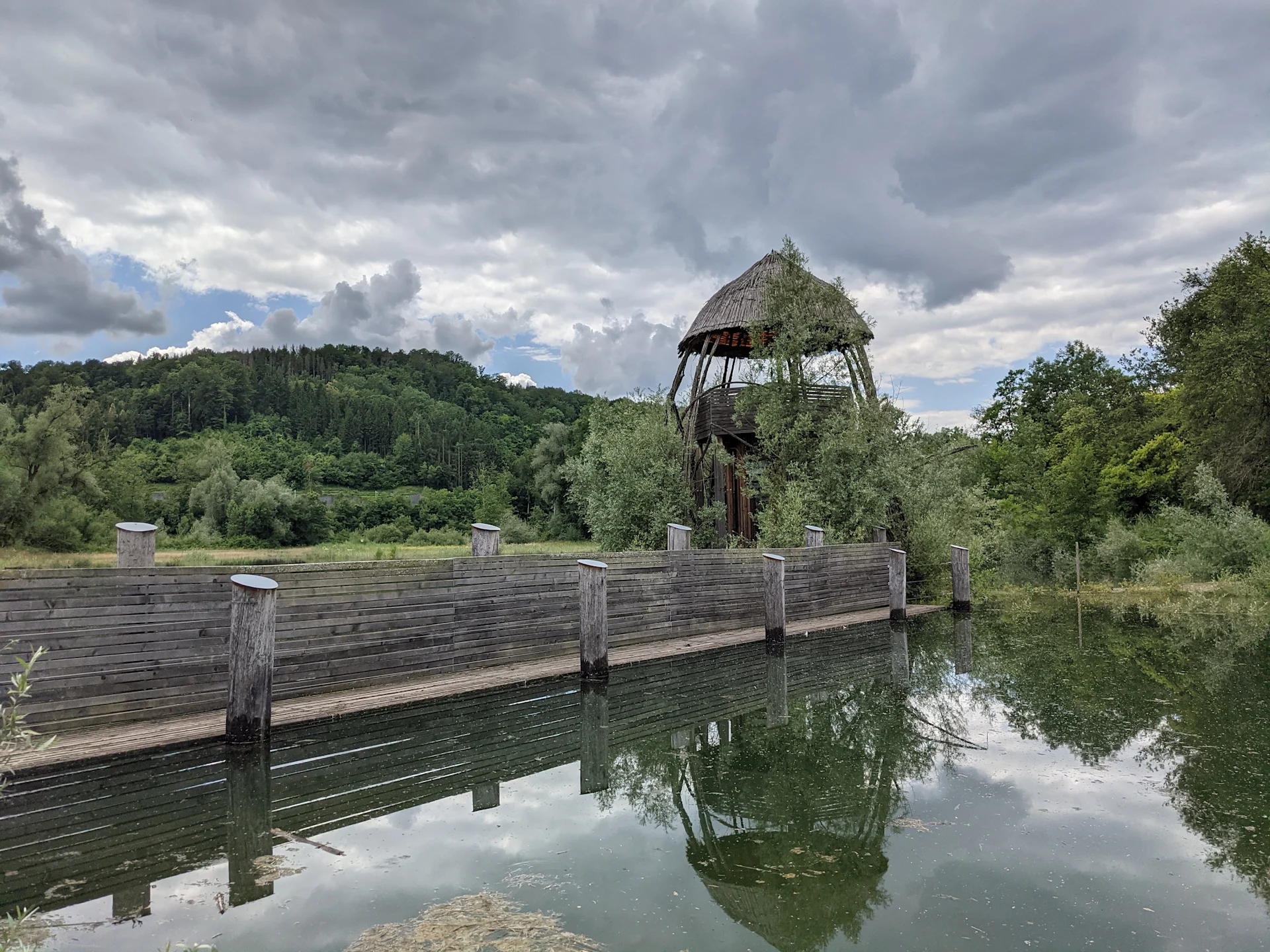
Visitors can discover especially many floodplain habitats in the Chly Rhy area near Rietheim: softwood floodplain forests, gravel banks, reed meadows with orchids and typical ponds. The best way to explore Chly Rhy is on a tour. The prominent observation tower provides an overview of the landscape. A picnic area with a barbecue spot and a supply of wood is a great place to while away the hours. The floodplain is ideal for a family outing. The visit can also be combined with a walk along the River Rhine to Koblenz.
How to get there: take a train to Rietheim. From there, the 15-minute walk to Chly Rhy is clearly signposted. Parking is available there.
Further information: pronatura-ag.ch
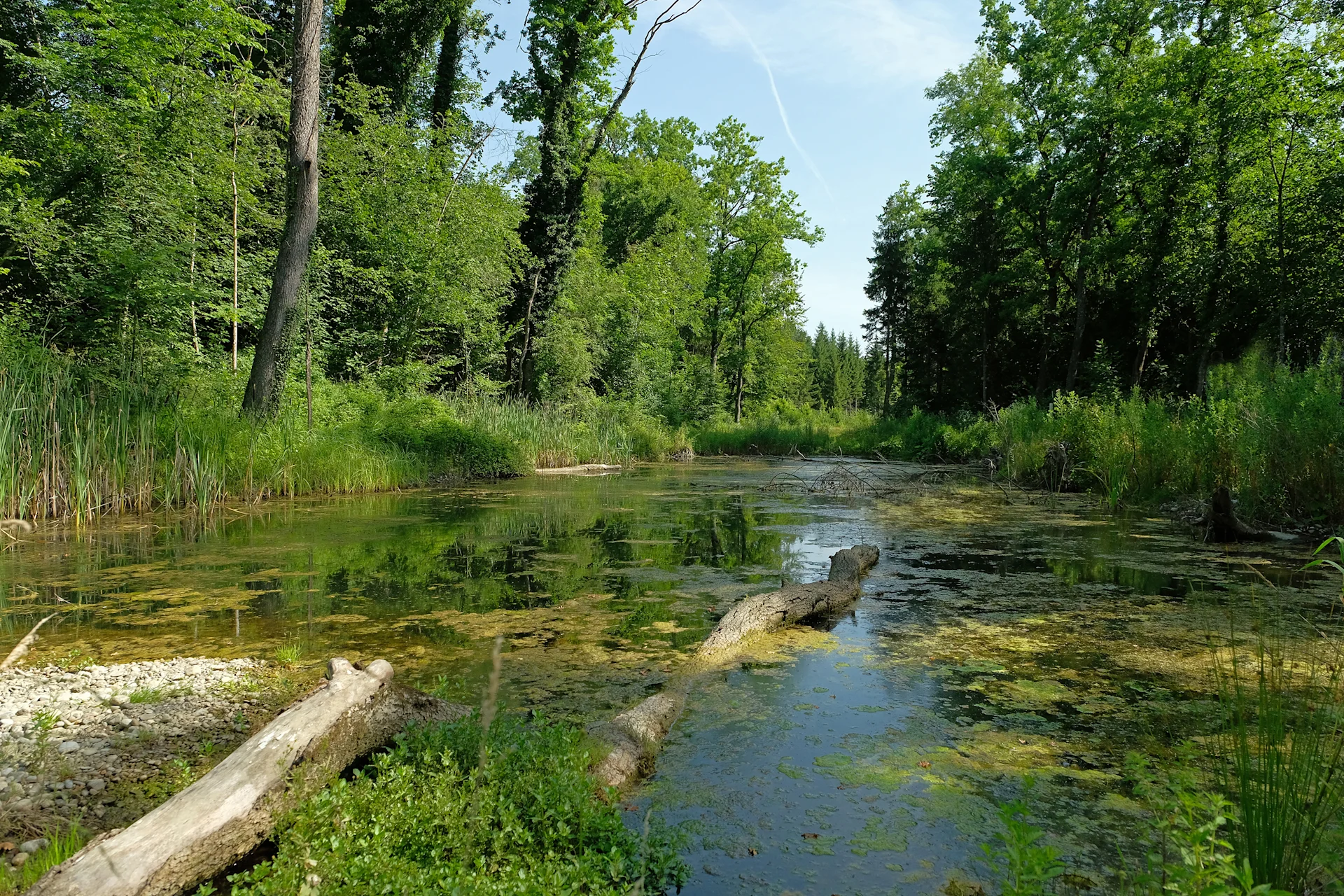
Stretching from Aarberg to Büren, Alte Aare is Switzerland's largest wetland area. The section between Lyss and Dotzigen in Bern canton is particularly impressive. Much is done to preserve nature in this area, which is why there are several hiking trails, but no picnic or barbecue areas. The area in and around the floodplain is ideal for those seeking tranquillity. With a little luck, you may also spot some typical local fauna, such as kingfishers, crested newts, grass snakes or beavers. The neighbouring villages offer numerous places to stop for a bite to eat.
How to get there: take the train to Lyss or Dotzigen, then walk for about ten minutes.
Further information: alte-aare.ch
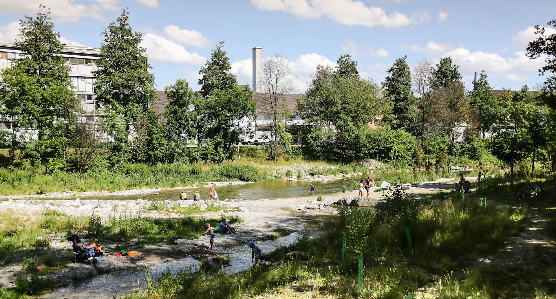
Murg-Auen-Park is located in Frauenfeld. Young and old meet there to stroll, swim or simply laze around. The floodplains are particularly suitable for families with small children, who can play and splash around along the riverbanks. There's a picnic area with a fire pit for extended lunch breaks. Once a military training ground, the park is now a local recreation area as well as a habitat for numerous endangered species that take refuge in such special zones. In 2017, Murg-Auen-Park was awarded the Schulthess Garden Award by the Swiss Heritage Society.
How to get there: take the train to Frauenfeld. The park is a five-minute walk away
Further information: frauenfeld.ch
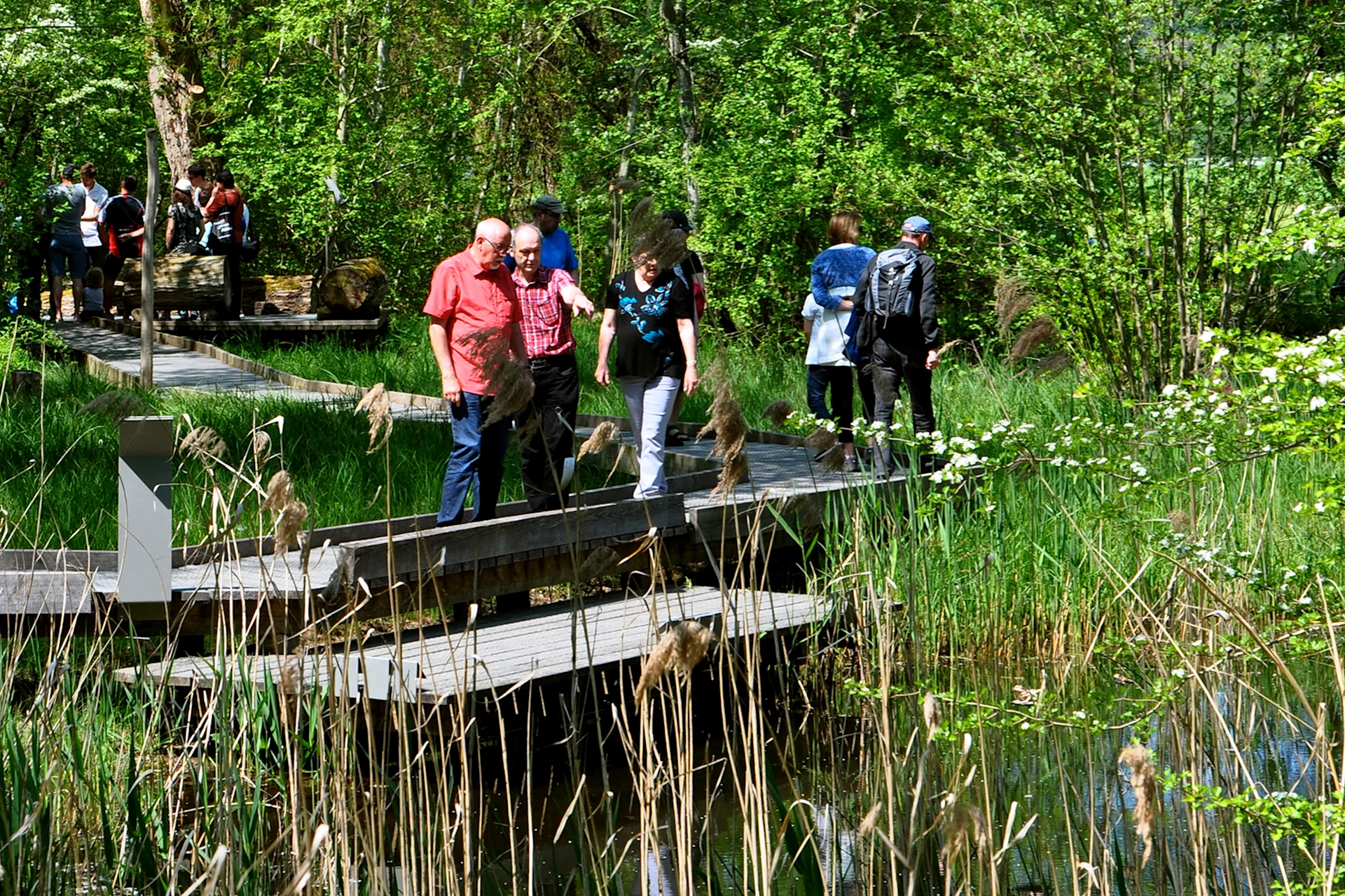
The River Thur flows into the Rhine in Flaach in Zurich canton. This is where the Thurauen Nature Centre is located. There, visitors can learn all about the renaturation of the Thur; the largest floodplain on the Swiss Central Plateau. The adventure trail and educational playground are a must for families. The floodplain itself is a 35-minute walk from the nature centre. The extensive area is an open invitation to stroll through, in some places along boardwalks. Viewing platforms and observation huts allow visitors to catch a glimpse of kingfishers and beavers. The recreational areas are great places to grill food, while children can amuse themselves in the shallow water.
How to get there: take the bus (number 675) from Henggart or Rafz station to Flaach Ziegelhütte. From there, it's a ten-minute walk to the nature centre. Parking is available at both the nature reserve and the nature centre.
Further information: naturzentrum-thurauen.ch
Promoting biodiversity: we can't do it on our own. Play your part now and protect Switzerland's biodiversity together with us!